Be inspired to get outdoors this National Map Reading Week
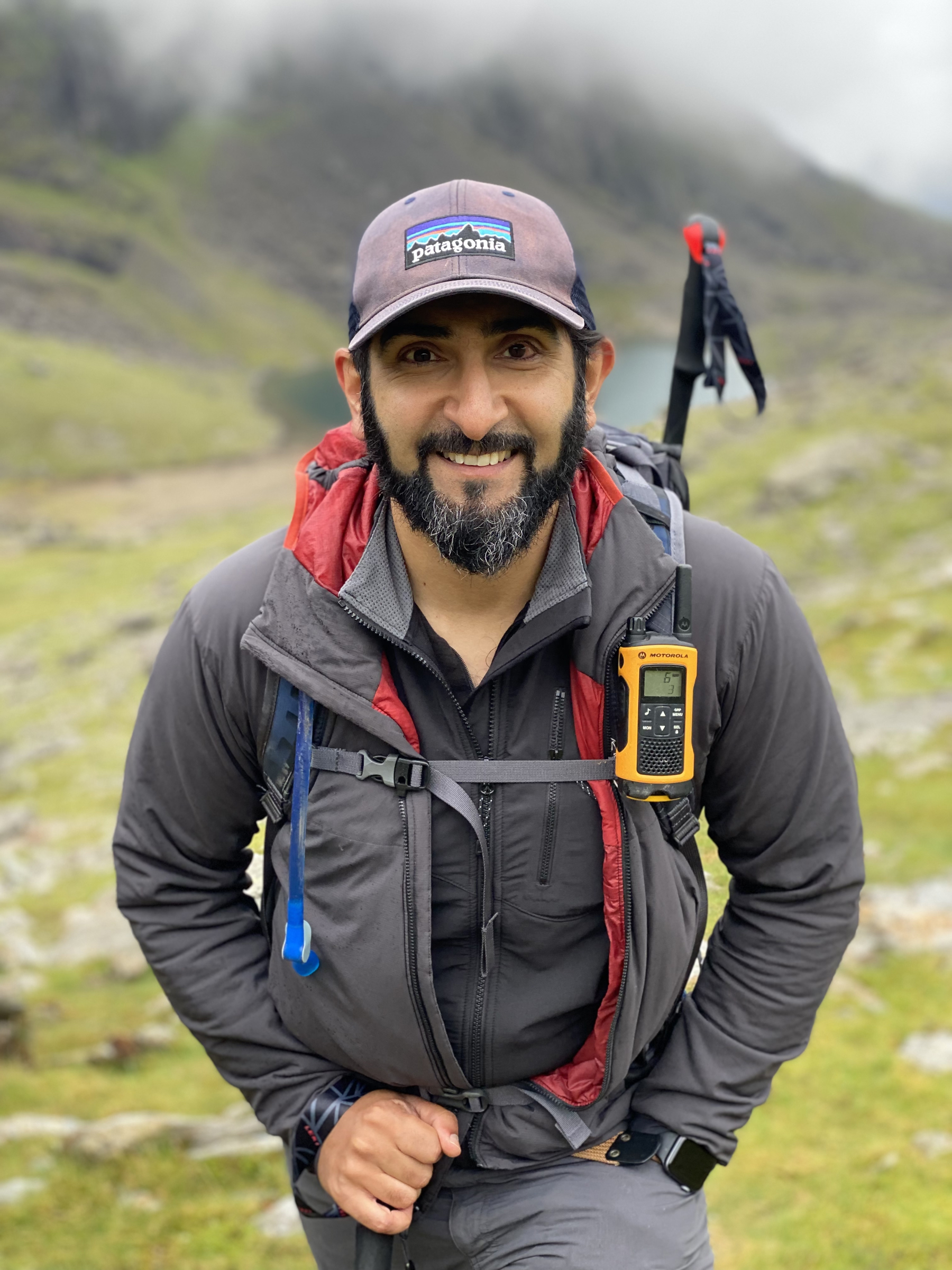
Mahroof Malik believes everyone should get a chance to explore the outdoors.
Mahroof brings together his love of the outdoors, nature and navigational skills in so many ways. He’s a Group Scout Leader in Birmingham, teaches navigation for the Muslim Scout Fellowship and manages the footpath network for Birmingham City Council. Now, he’s one of our Scout Adventurers as well.
11-17 July is National Map Reading Week. We spoke with Mahroof about why he thinks getting outdoors is so important, how to get a Scout group map reading, and the reason he became an Ordnance Survey (OS Maps) GetOutside champion, too.
Hi Mahroof! Can you tell us a little bit about yourself?
I grew up in inner city Birmingham and had fantastic teachers who understood the power of nature, which led me to find my passion for the outdoors, walking and hiking.
From there, I’ve gone on to become a Group Scout Leader, where I promote and lead Beavers, Cubs and Scouts in learning to navigate and appreciate the outdoors.
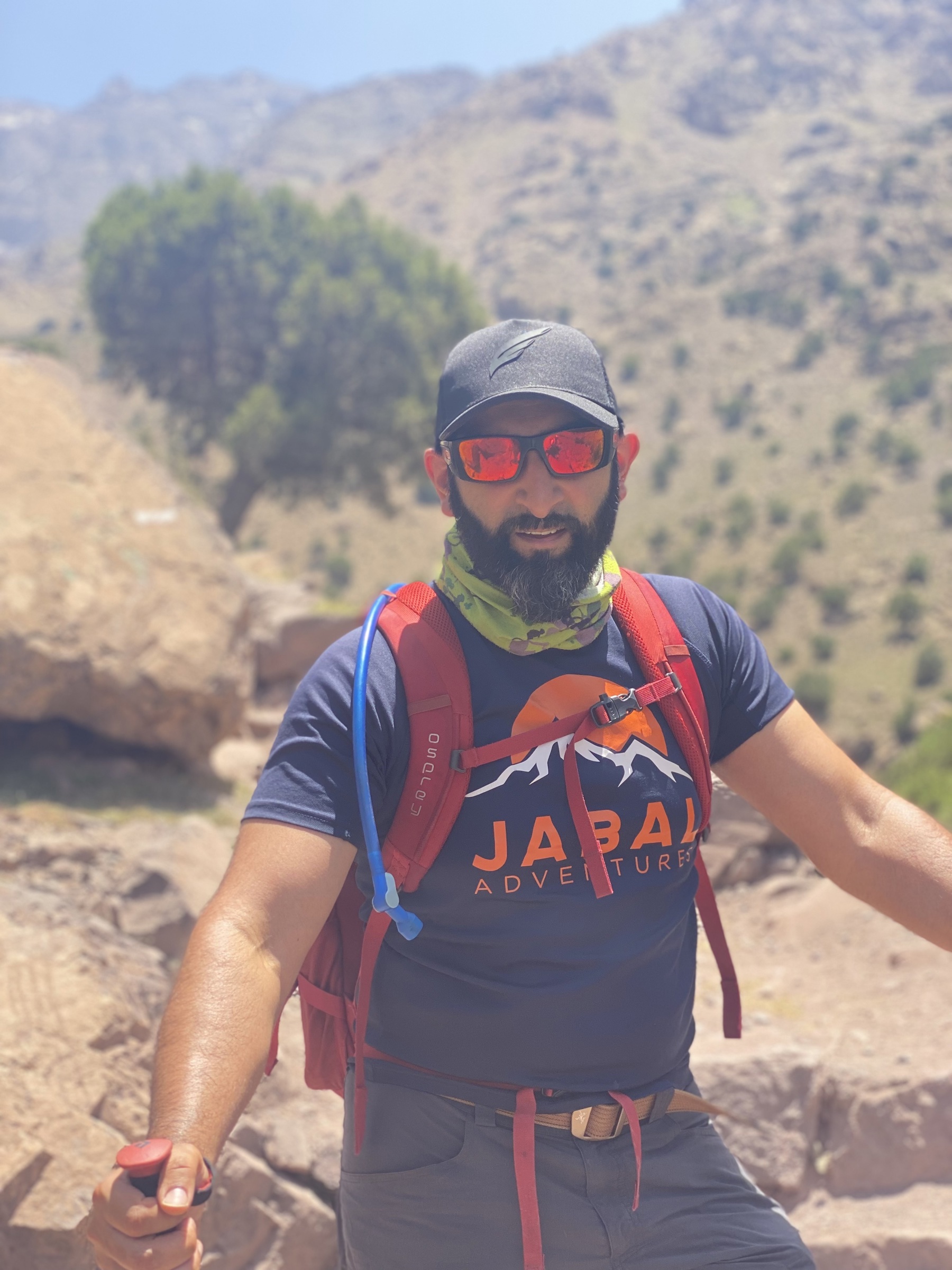
More recently, I’ve excitedly become an OS Champion and one of the new Scout Adventurers. Amongst my many endeavours, I’ve cycled from Land’s End to John O’ Groats and walked to the summit of Kilimanjaro.
What’ve you done to teach young people about navigations in your Scouts group?
We’ve done lots of activities that relate to mapping in all our groups. From simple games that get young children used to the compass directions to orienteering activities on camps, through to proper map reading skills.
I start by teaching very basic map reading skills to our Beavers, such as playing a game with compass directions, then we move onto looking at maps.
I’m always keen to use a variety of navigation elements, including reading with and without a compass, and mental mapping.
Mental mapping is a useful exercise, as they do this every day. They know on the walk to school that they go past the chip shop, walk by a friend’s house and see the post box.
By using natural features and local landmarks, young people can locate themselves on the maps and learn to read one to find their way around.
During every walk and hike we’ve been on, I ask them to use the maps to find out where they are. However, I need it to be evidence based.
We’ll stop and look, they’ll orientate their map and find 3 or 4 things around them that match up to what we can see on the map.
Have your young people enjoyed it?
Yes! It’s been a gradual process. We started by getting them to take maps on every walk, whether they use it or not, and it’s taken them time to get to grips with it. However, as they’ve started to understand map reading, every 5 minutes they’re telling me where to go and relocating themselves on the map.
It’s so fantastic to see, and when they get it, they really enjoy the map reading process. I really enjoy teaching them these key skills and igniting their passion for the outdoors, too.
It sounds like you empower the young people to take the lead on these outings. Has your group ever got you lost?
So far, the young people have never gotten me or themselves lost. Not yet, anyway!
However, if they did get us lost, if it was safe to, I’d let them. It’s when things go wrong that you start to really rely on your skills.
Getting lost in a safe environment is important for young people to develop their map reading skills, so don’t be too worried if young people don’t always get it right. Follow their lead and let them correct themselves.
How else have you encouraged your local Scouts community to start map reading?
I’ve started to run sessions for Scout volunteers in the Muslim Scout Fellowship. I offer training for leaders and volunteers to gain confidence in their map reading and navigation skills.
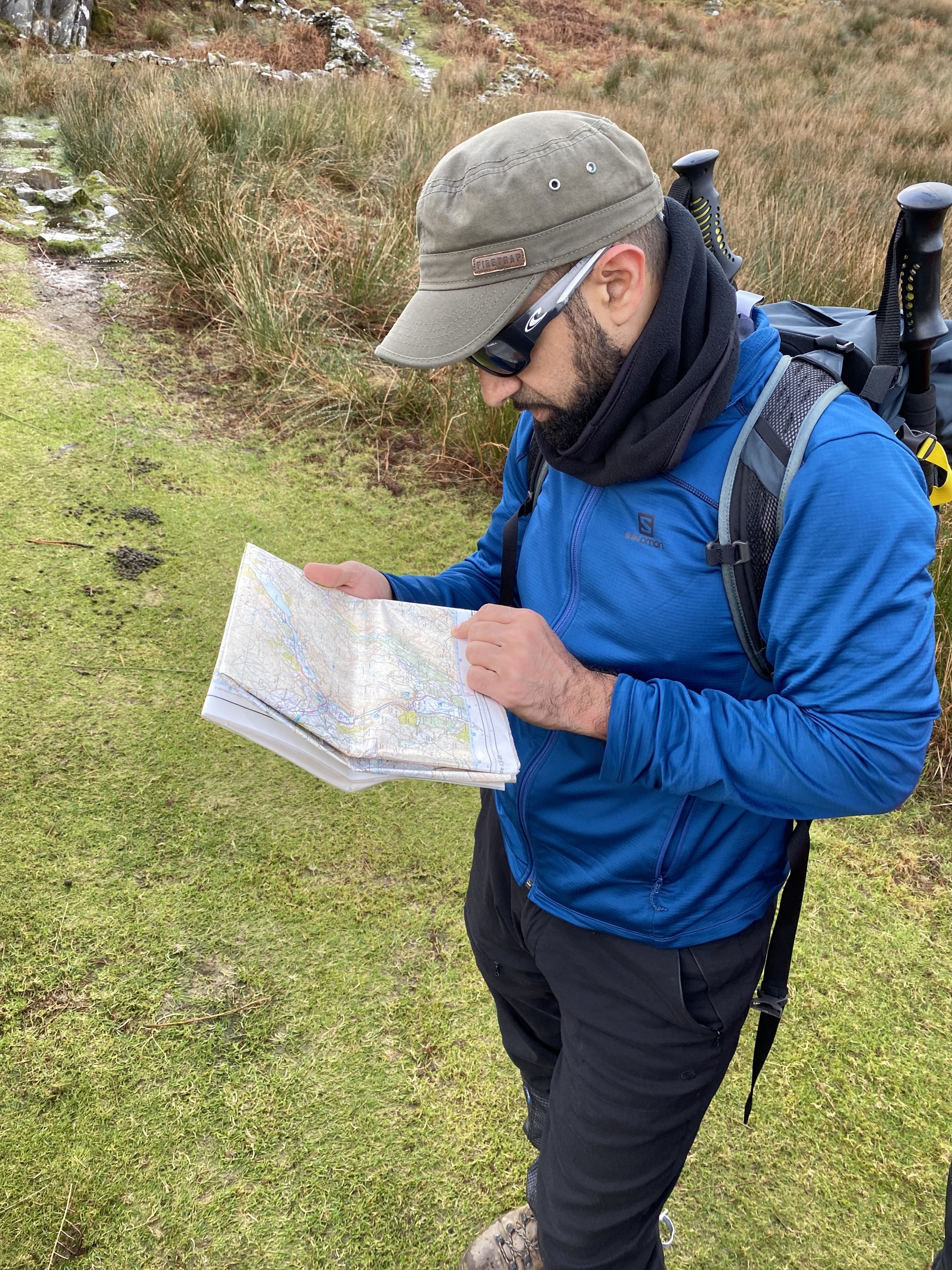
I try to get them to point where they’ll be looking at and understanding all the features shown by the contour lines, as well as what the numbers on the lines mean, too. The reality is that we’re a little ahead of ourselves to jump straight in with compass bearings.
Instead, I get people to choose a route to walk along and, just like I do with the young people, I get them to use features they recognise along a route, such as paths, places of worship and other landmarks or following a river, fence or road and even things that tell them they’ve missed their target.
They notice what they pass along the way and see how they can relate that to what’s on the map to find out where they are and even whether they’ve gone too far. These are known as tick-off, handrail and overshoot features.
You’ve got to get people to do it themselves, so they can confidently go out on walks or begin to teach it to their groups. And practice!
What’s your top tip for anyone wanting to start map reading and learning to navigate?
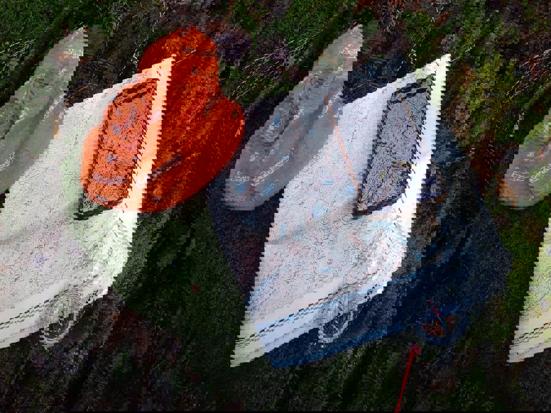
My biggest piece of advice is to buy or find online a map of your local area. There are 1:25,000 maps available for every part of the UK, so have a look and familiarise yourself on a 1:25k map.
Try to identify where you live, and then start to locate any local landmarks and familiar places, such as the local park, to see what they look like on a map.
You’ll begin to recognise different things, such as map symbols or how roads are shown. You can then put this into practice when reading maps about places you might not be as familiar with.
I then get my young people to see if they can draw their own map of their local area. We look at their drawn map compared to an OS map and see how accurate they both are.
Sometimes the OS map includes things they haven’t, or it might not include certain features that my group added to their map. We then chat through why they think OS Maps might have added or dismissed the different details, such as shop names or post boxes.
Where are your favourite places to go walking in the UK, by yourself and with your group?
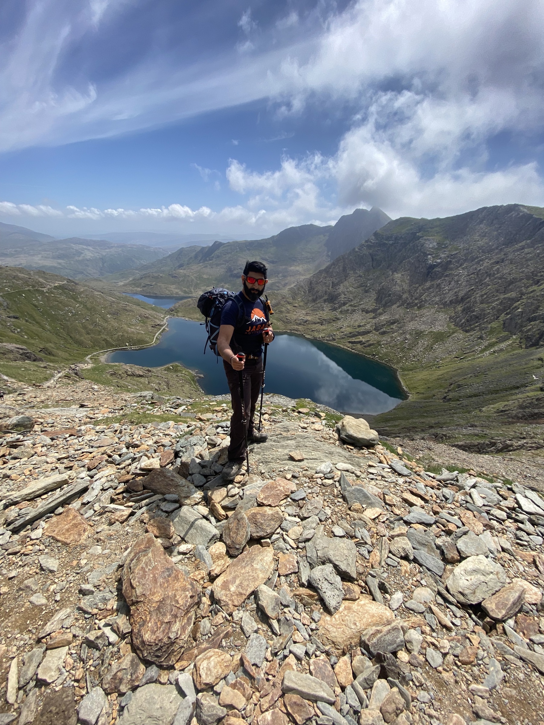
My favourite place is Snowdonia. It holds very special memories of when I first visited the area as a young boy. I just love walking and being in that environment.
The Lake District is always beautiful, too, and I really enjoy the rugged, raw terrains of Scotland, such as the Isle of Skye or Ben Nevis. We’re very lucky actually, for a small island, we have amazingly diverse landscapes.
For my group, our most recent walk was in Dovetail. It’s a very popular walk because it has some lovely elements including the river Dove, trees, rocks, caves and of course the infamous stepping stones.
Similarly, we’ve done hikes closer to home in the Country Parks just outside of Birmingham. These parks are great places to introduce our young people to hiking.
It’s important for people to know these places and just navigate themselves between the signposts, as I wouldn’t send them into a remote area or have them completely reliant on maps for their first walk.
Map reading isn’t the first phase, but it’s about accessibility and knowing the environment and terrain. You get people to develop a love for outdoors and then start to grow the skills from there.
What do you think the benefits of map reading and being outdoors are?
There’s a great quote by George Bernard Shaw that says, ‘We don’t stop playing because we grow old, we grow old because we stop playing,’ and I say to people, that’s why I go outdoors, I like feeling like a kid.
I’m still the same 10-year-old kid, and, although the outside of me has grown up, on the inside I still love being silly, having fun, climbing trees and clambering over rocks.
It's great that Scouts still promote us having fun while being outdoors. There are lots of mental health problems that have become so much more apparent post-lockdown, so people being able to get outdoors is important.
Humans are supposed to be comfortable in a natural, outdoors environment, it’s important to take people to nature and get them inspired and involved.
Understanding maps and knowing the skill of navigation makes you feel a lot more comfortable in the outdoors because you can always get to where you need to be, especially if the conditions change for the worse.
I think there should be a huge emphasis on getting kids out into countryside and making it a regular part of their lives, whether it’s walking, cycling or swimming. Just get outdoors, that’s incredibly important, and it doesn’t matter what you do.
Why did you want to become an OS Champion?
I love maps. I love working with maps and I love teaching map reading, so when I first learned about OS champions, I wanted to get involved because OS Maps have such an important place in my life.
I wanted to share the love of mapping for the same reason that I became a Mountain Leader. I’d been climbing and hiking for very long time and being out there doing lots of different things.
I started to notice that I couldn’t see other Black, Asian and Minority Ethnic people walking, and I wanted that representation to get bigger and grow.
People then started asking me to take them out on walks and out into the hills. No one else was going to help them develop those skills, so I knew then that I had to. It felt like the baton had been passed to me, and I was pleased to take it.
Being a Public Rights of Way Officer in Birmingham, having a geography background, and advising on BAME engagement in the outdoors for the British Mountaineering Council, made it feel like the natural next step.
It’s brilliant to just get involved. I want to help and get more people involved in being outdoors and feeling comfortable in that environment and maps are one of the keys to unlocking the outdoors.
What's your proudest moment been when teaching others?
My thing has always been to give other people skills to do things. I want to be the one to give people the wings they need and how high they soar is up to them.
My job is to be an educator, to teach others about the outdoors and inspire people to get started. I’ve taken people rock climbing and they’ve outshined me in a few weeks. It’s brilliant, I love to see people starting their own adventure.
GetOutside was founded by OS Maps as part of their long-term mission to help more people to get outside more often. As champions, Mahroof and others help to showcase the best of Britain, and they encourage people to get outdoors by sharing their stories and tips.